Love Livin' in Tamborine Mountain QLD 4272
Prefer Homeowner Blog in Google Search
Love Livin' in Tamborine Mountain QLD 4272
A mountain community with its own daily rhythm
Tamborine Mountain is a plateau community in the Scenic Rim, in Queensland’s Gold Coast hinterland. The locality encompasses North Tamborine, Eagle Heights and Mount Tamborine, with a permanent population of more than 7,500 people according to Scenic Rim Regional Council. Brisbane and the Gold Coast are close enough for day trips, but the mountain’s roads, cooler air and rainforest setting give everyday life a distinct pace.
The practical centre of the community is spread rather than concentrated. Main Street’s Village Greens provides a council customer service centre, library and a relaxed meeting place, while Gallery Walk on Long Road in Eagle Heights brings together shops, cafés, galleries and local-made goods. A normal week can involve a supermarket run, a coffee in the village, a school drop-off and an evening club activity; weekends add markets, visitors and bushwalkers. Tourism is part of the local economy, yet this is also a functioning residential community with medical centres, pharmacies, dentists, banks, post offices, a hardware shop, trades and everyday food services.
Rainforest, escarpments and a deep local story
The mountain’s character comes from its geology. Queensland Parks explains that Tamborine Mountain formed from basalt lava flows associated with the ancient Tweed Volcano, then became an isolated plateau as streams eroded the surrounding dome. The result is a high, green landscape of gullies, escarpments and creeks rather than a conventional coastal suburb.
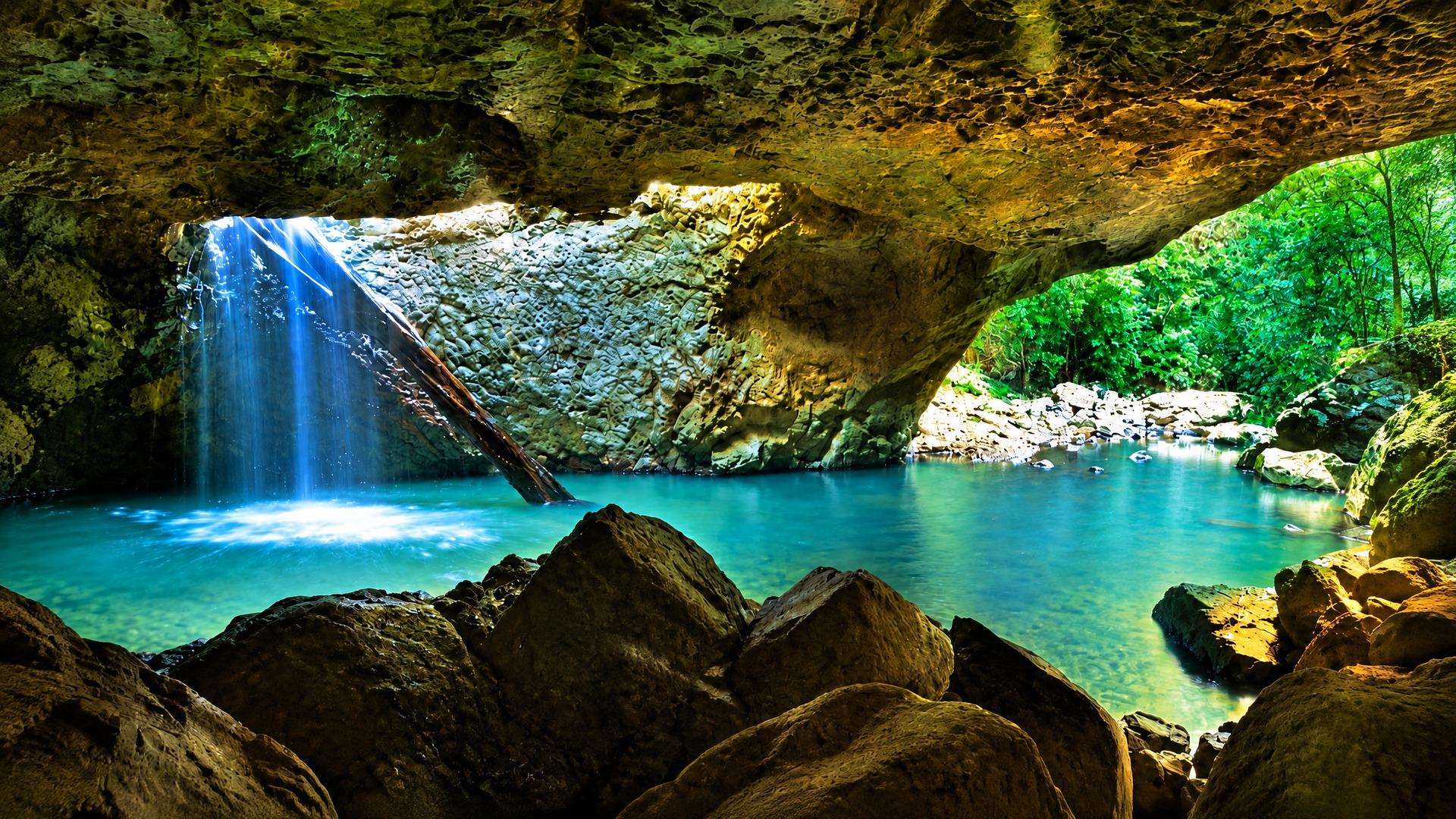
Tamborine National Park is the defining natural asset. Its sections include Witches Falls, Joalah, Palm Grove, The Knoll, MacDonald and Cedar Creek, with subtropical rainforest, wet eucalypt forest and open eucalypt forest. Short walks lead to lookouts, creeks and waterfalls, including the well-known Curtis Falls area. The park is habitat for species such as Albert’s lyrebird, red-legged pademelons and the Richmond birdwing butterfly. Visitors should check current alerts before setting out: Queensland Parks lists severe weather damage affecting parts of the park through 18 December 2026.
This landscape also carries living First Nations history. Queensland Parks records that “Tamborine” derives from a Yugambeh word associated with wild lime, and identifies the Wangerriburra and wider Yugambeh connection to Country. The first Queensland national park, Witches Falls, was declared on 28 March 1908 after local concern about clearing. European settlement followed the opening of the mountain for selection in 1878, while productive volcanic soils still support crops including avocados, kiwifruit and rhubarb.
Amenities, recreation and community life
Tamborine Mountain is well set up for residents who want local services without giving up a village atmosphere. Council lists medical and dental services, supermarkets, a bakery, butcher, chemist, veterinary clinic, cafés and restaurants alongside the library, community hall, theatre, swimming pool and playgrounds. The mix is useful, but not metropolitan: specialist appointments, major shopping and some employment will generally mean travelling down the mountain or towards the Gold Coast and Brisbane.
Community life is unusually visible in the list of activities available locally. Council identifies gardening, craft, rugby league, lawn bowls, tennis, horse riding, golf, gymnastics, dance, martial arts, athletics, soccer, hobby clubs and hang gliding. Regular markets, arts businesses and the school’s parent community add to the social fabric. The result suits people who are comfortable joining established groups and participating in a place where social networks can be more personal and activity-led than in a large urban suburb.
Schooling and getting around
Tamborine Mountain State School is the local state primary school. Its official profile describes an Independent Public School focused on academic, cultural, physical and social development, with extra-curricular opportunities and an active Parents and Citizens’ Association. Scenic Rim Regional Council states that education on the mountain includes pre-schools, primary schools and two high schools; families should confirm current enrolment zones, year levels and availability directly with each school and the Queensland Department of Education.
Driving is central to life here. Council describes routes from Brisbane via Beenleigh or the Pacific Highway and Oxenford–Tamborine Road, and from the Gold Coast via Oxenford or Nerang. The mountain’s winding roads can make a short map distance feel longer, particularly in wet weather or at busy visitor times.
Public transport exists but is not a frequent urban network. Translink’s demand-responsive service collects passengers in Tamborine Mountain, North Tamborine and Eagle Heights and travels to Helensvale or Beenleigh stations. The weekday timetable is limited, with no current weekend or public-holiday service, and trips must be booked through TransitCare. At Helensvale, passengers can connect with trains, trams and buses; at Beenleigh, they can connect with trains, buses or taxis. Buyers who do not drive should test the actual timetable and connection times against their routine rather than assuming regular local buses.
Housing character and checks for buyers
Housing is varied across the plateau. The established streets of North Tamborine, Eagle Heights and Mount Tamborine include detached homes on leafy blocks, older cottages, renovated houses and properties designed around gardens, views or visitor accommodation. Lot shape, slope, access and vegetation can change from one street to the next, so the address matters more than a broad suburb label. Some properties combine a home with sheds, studios or substantial gardens; others are compact and closer to shops and services.
The setting brings practical due diligence. Before buying, check council planning controls, permitted uses and whether a property is affected by bushfire, landslide, drainage or access constraints. Scenic Rim Council identifies Tamborine Mountain Sports Centre on Hartley Road and Long Road as an approved Neighbourhood Safer Place, but stresses that such sites are a last resort, not a substitute for a household bushfire survival plan. Also inspect road access, mobile and internet performance, rainwater or sewer arrangements where relevant, retaining walls, tree maintenance and the condition of older buildings. Holiday-letting potential should never be assumed; confirm approvals and operating requirements with council.
Who might feel at home here?
Tamborine Mountain may suit households seeking rainforest walks, cooler hinterland conditions, a strong local activity calendar and access to daily essentials without living in a dense city setting. It can work for families who value local schooling and community involvement, gardeners and creatives, and people who are happy for driving to be part of the weekly routine. It may be less suitable for someone who needs frequent trains, flat walking routes, late-night retail, a large specialist medical network or a short, predictable commute every day. The mountain’s appeal is real, but it is inseparable from its slopes, weather, limited public transport and responsibility to live carefully alongside bushland.
Sources
Scenic Rim Regional Council: Tamborine Mountain · Queensland Parks: Tamborine National Park · Queensland Parks: Nature, culture and history · Visit Scenic Rim: Tamborine Mountain · Tamborine Mountain State School · Translink: Tamborine Mountain demand-responsive transport · Scenic Rim Regional Council: Neighbourhood Safer Places
More from Love Livin' series

Love Livin' in Bronte NSW 2024: Your Complete Suburb Guide
Bronte NSW 2024 offers exclusive beachside living with a family-friendly atmosphere, stunning ocean pool, and strong community spirit.

Love Livin' in Potts Point NSW 2011: Your Complete Suburb Guide
Potts Point NSW 2011 combines inner-city sophistication with bohemian charm, offering excellent dining and vibrant nightlife.

Love Livin' in Darlinghurst NSW 2010: Your Complete Suburb Guide
Darlinghurst NSW 2010 offers cultural and arts district with excellent amenity and lifestyle options.